Sailing Adventures – Part 3

We left off last time having anchored in Fry’s Harbor on Santa Cruz Island.

Journal Entry Day six: I'm sitting here listening to the lap of waves against the rocks, watching the water slowly rise and fall against the cliffs. It's like the ocean is breathing slowly as each swell comes through. The water is relatively calm and glassy this morning in the gray light, and there's hardly a breeze. I can smell bacon cooking downstairs in preparation for breakfast burritos. I've already had my cup of hot vanilla chai tea and the sleepy fog of my mind has mostly lifted. Behind the bacon smell is the rich smell of kelp and algae and salt permeating through the air. It's a balm that's so familiar I can almost reach out and grab it, put it somewhere close to my soul so that when I'm thousands of miles from this place I can still come back to this calm, this home.

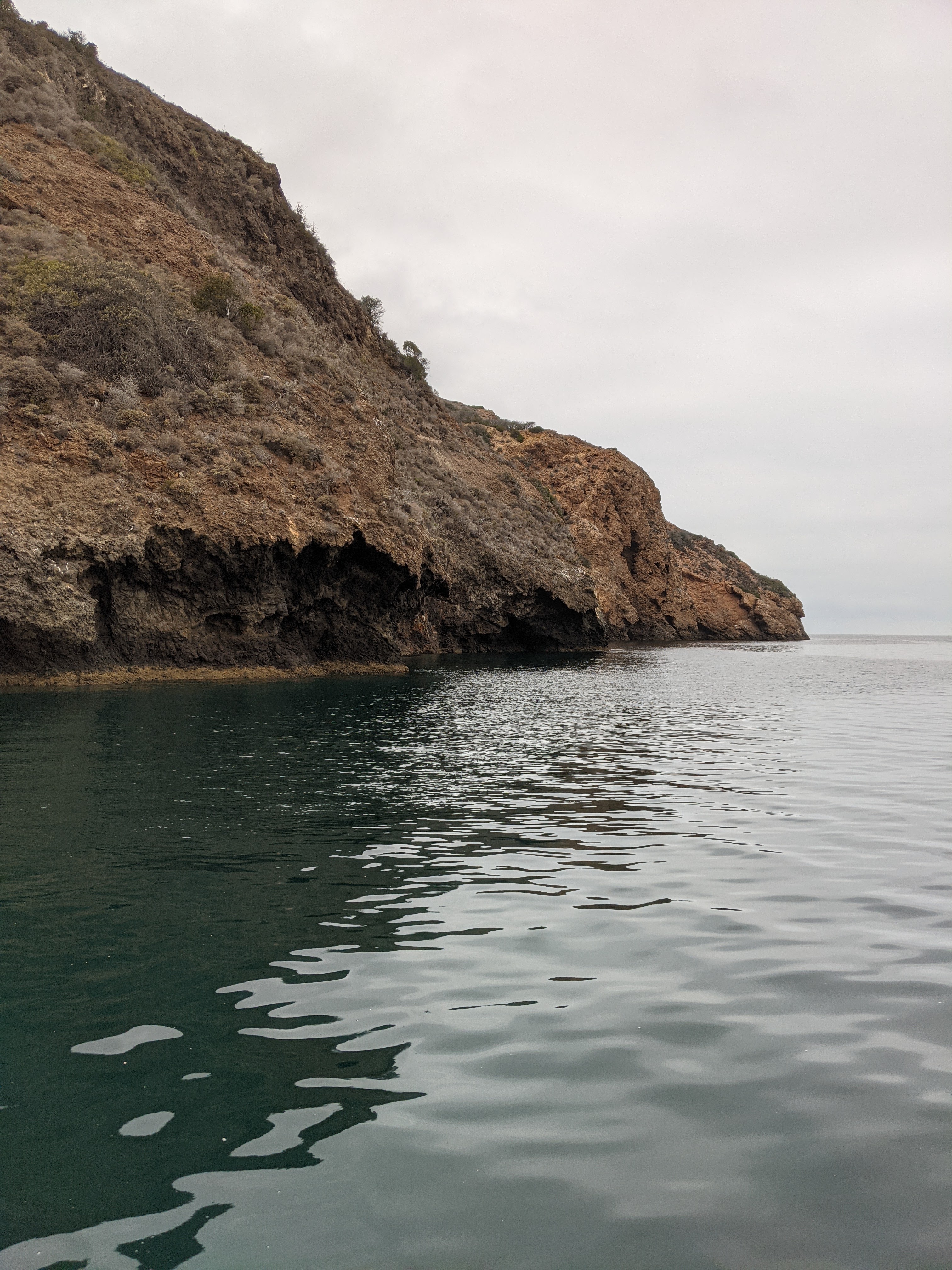
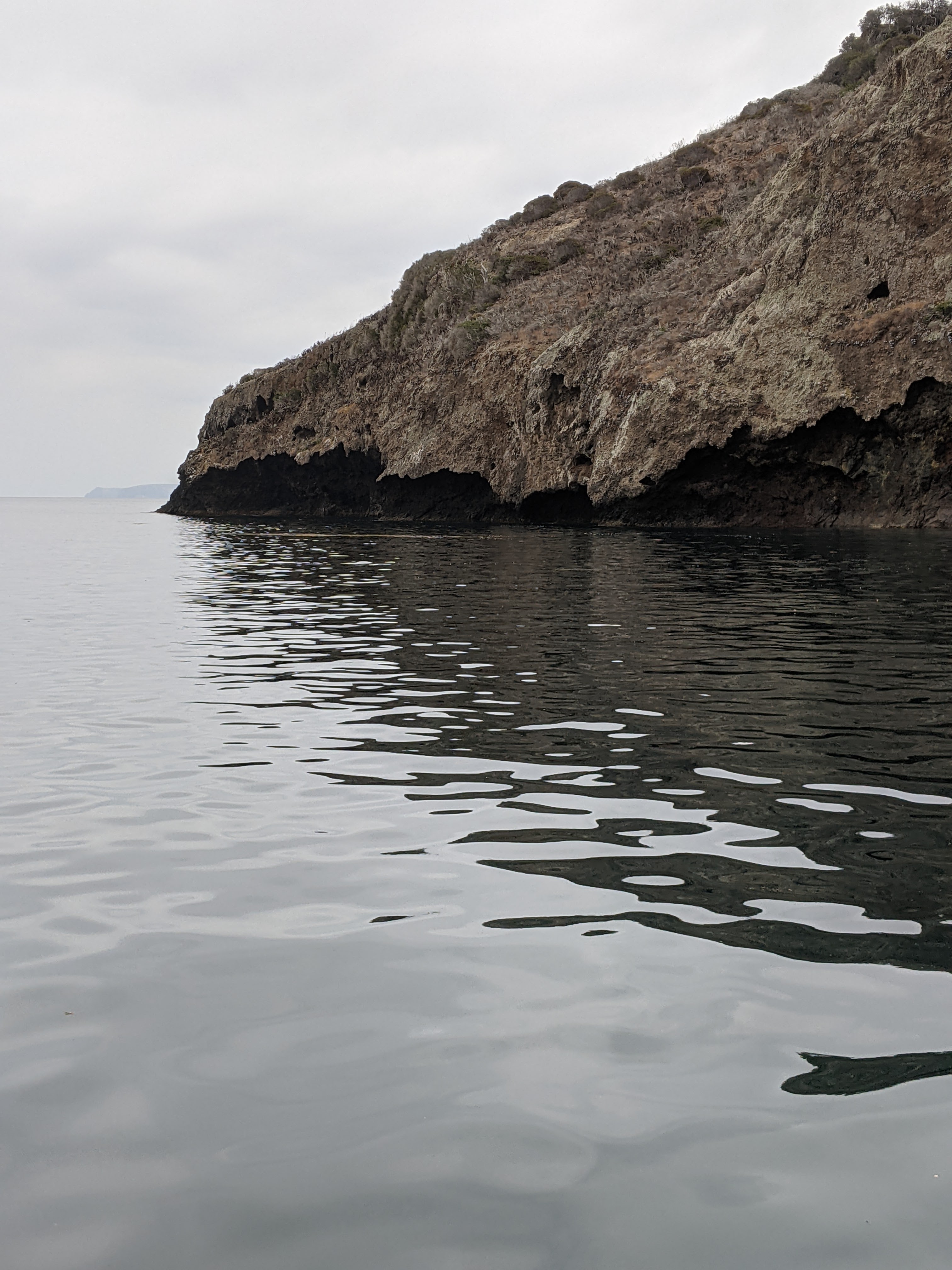
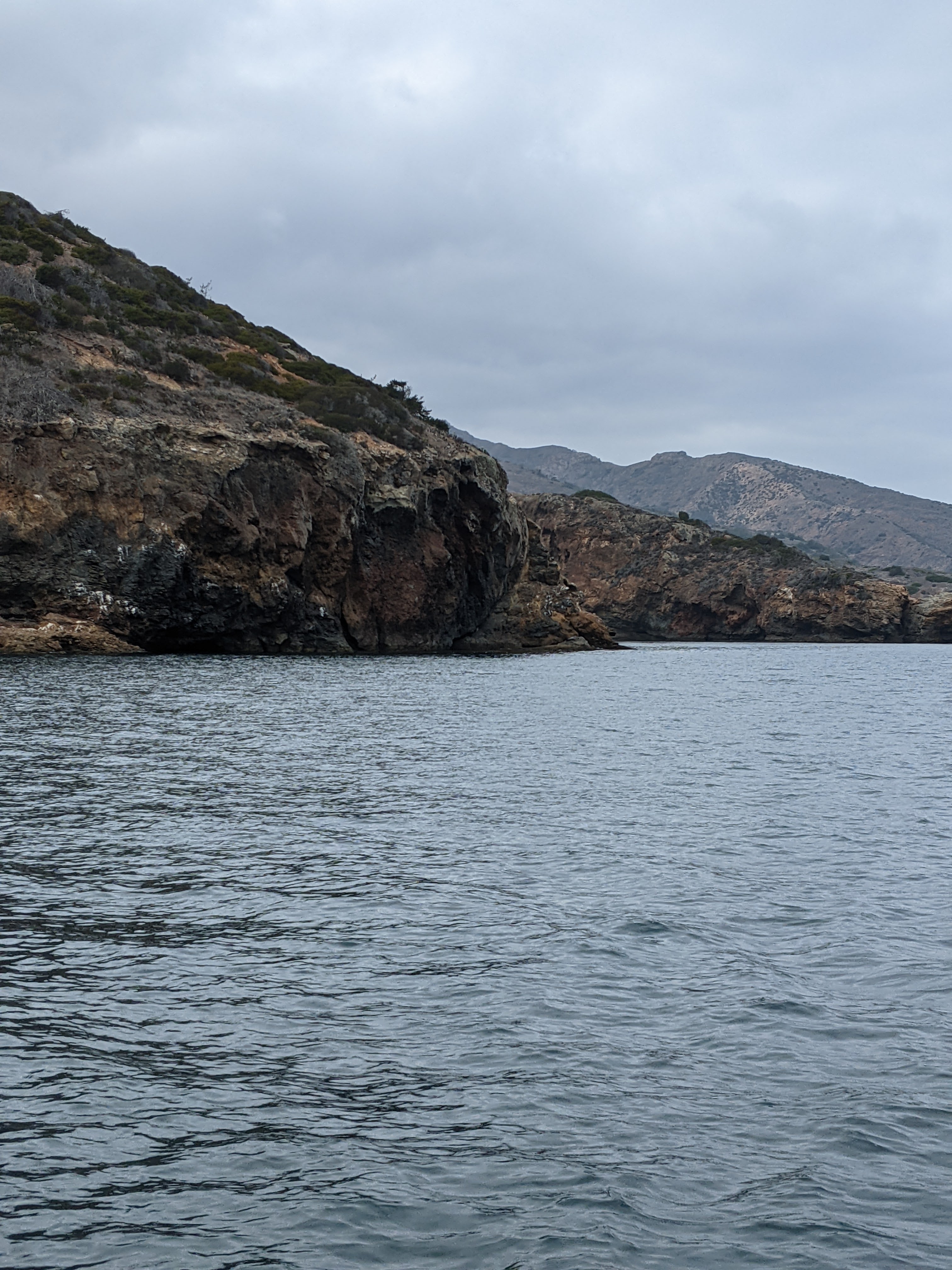
That lovely calm was interrupted by Island Packers anchoring in deep water and ferrying about 80 people onto shore in their zodiacs. Island Packers is a great way to experience some part of the islands if you don’t have access to your own vessel. They have day trips and will drop campers off at the island campgrounds. So, we watched as people picnicked on the rocky shore, played in the cold water, and snorkeled around. Three hours later it was the process in reverse and Island Packers left us to our little notch in the coast. In between, we took turns taking the kayaks out to explore the cliffs up and down the coast a bit. It was lovely being on the water, looking at all the patterns in the rock, and gasping at little blowholes as an errant swell smacked the rocks.

The next day (day seven), we sauntered down the coast a couple of miles to a place called Pelican Bay. We again successfully set a stern and bow anchor in the harbor and then kayaked, drank, and ate to our success. Pelicans is very cool because it feels like a bowl. It’s surrounded by cliffs in an almost perfect half circle. There are bright yellowish patterns in the sandstone cliffs on the eastern side of the bay, an identifying landmark for boaters.

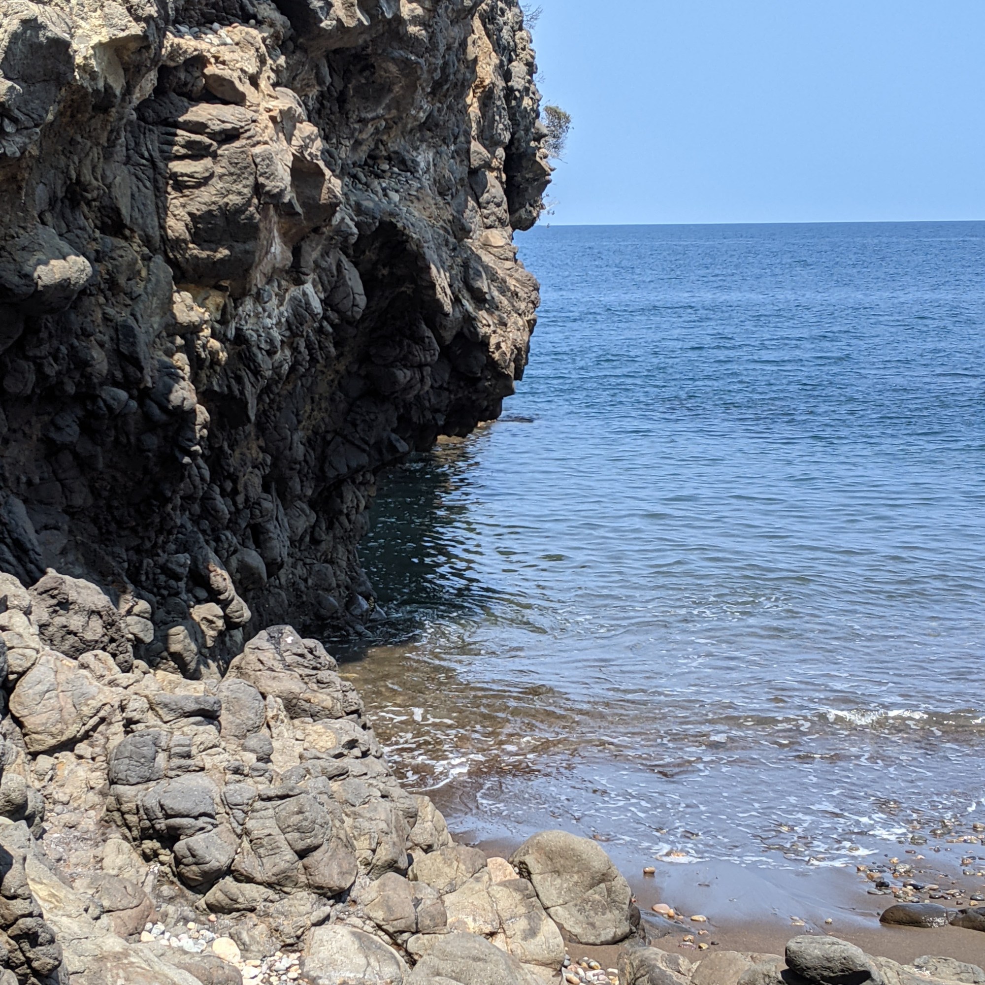
There used to be a hotel on the western edge of the bay on the cliffs in the early 1900’s and the foundations and century plants from the gardens are the only evidence they ever existed. Well, that and the boat landing that no one in their right mind would ever use (at least after a first try). It’s a low flat rock covered with barnacles and all kinds of sharp marine life available for landing dinghies, followed by a small set of stairs crumbling up the cliffs to the hotel foundations. A much more reasonable landing spot is around the western end of the bay in a small sandy/rocky cove directly behind the long gone hotel.

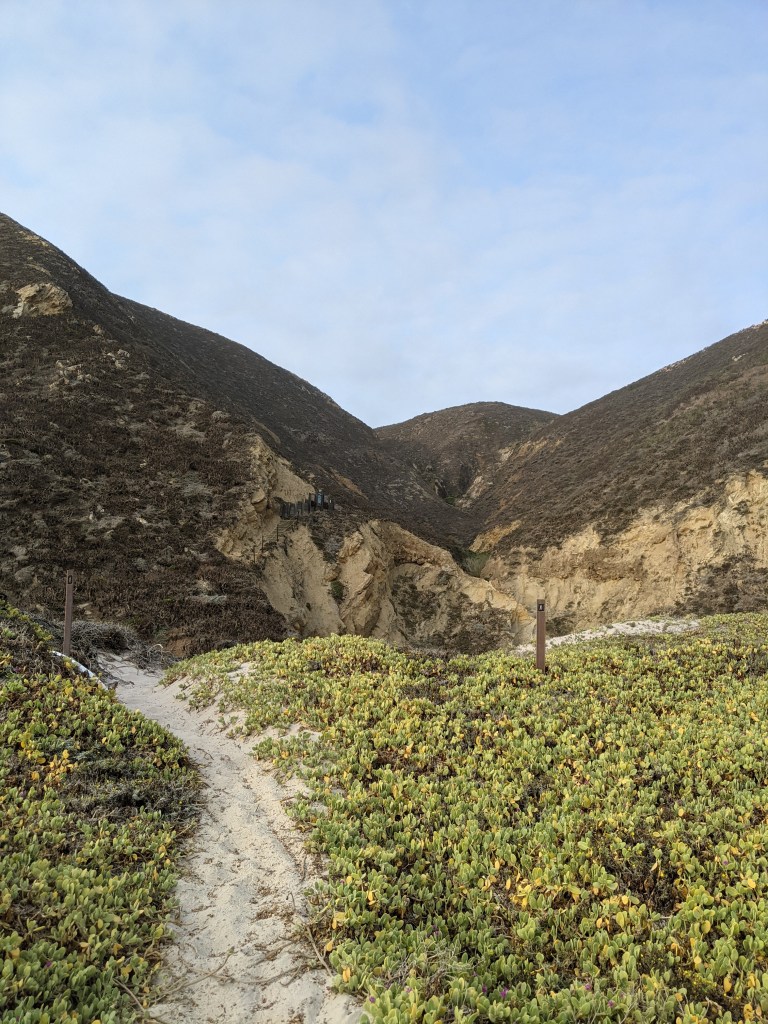
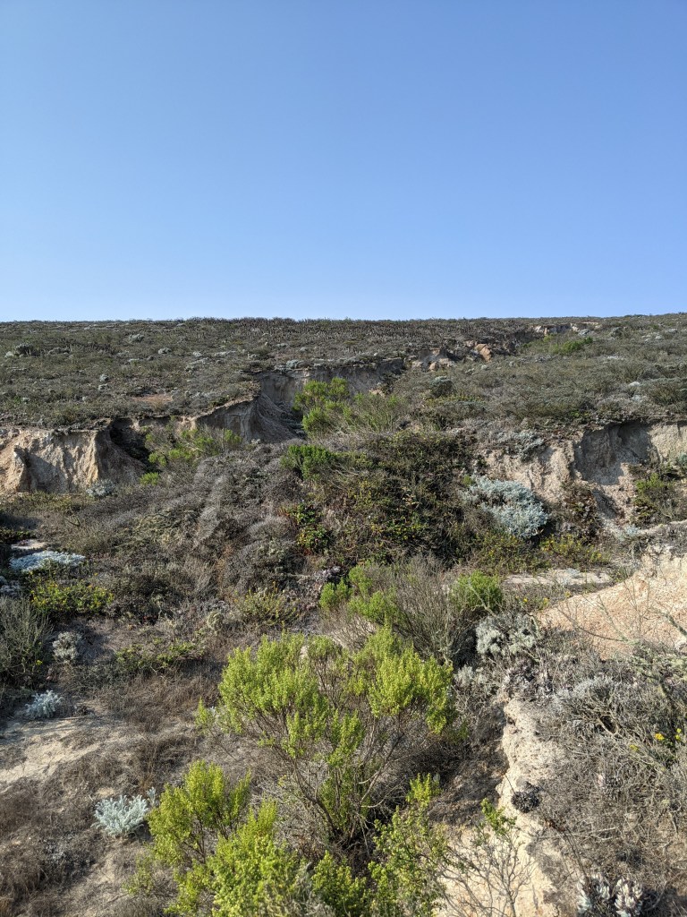
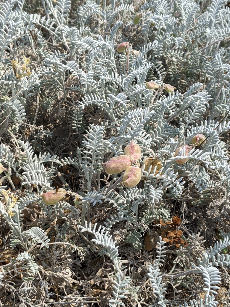
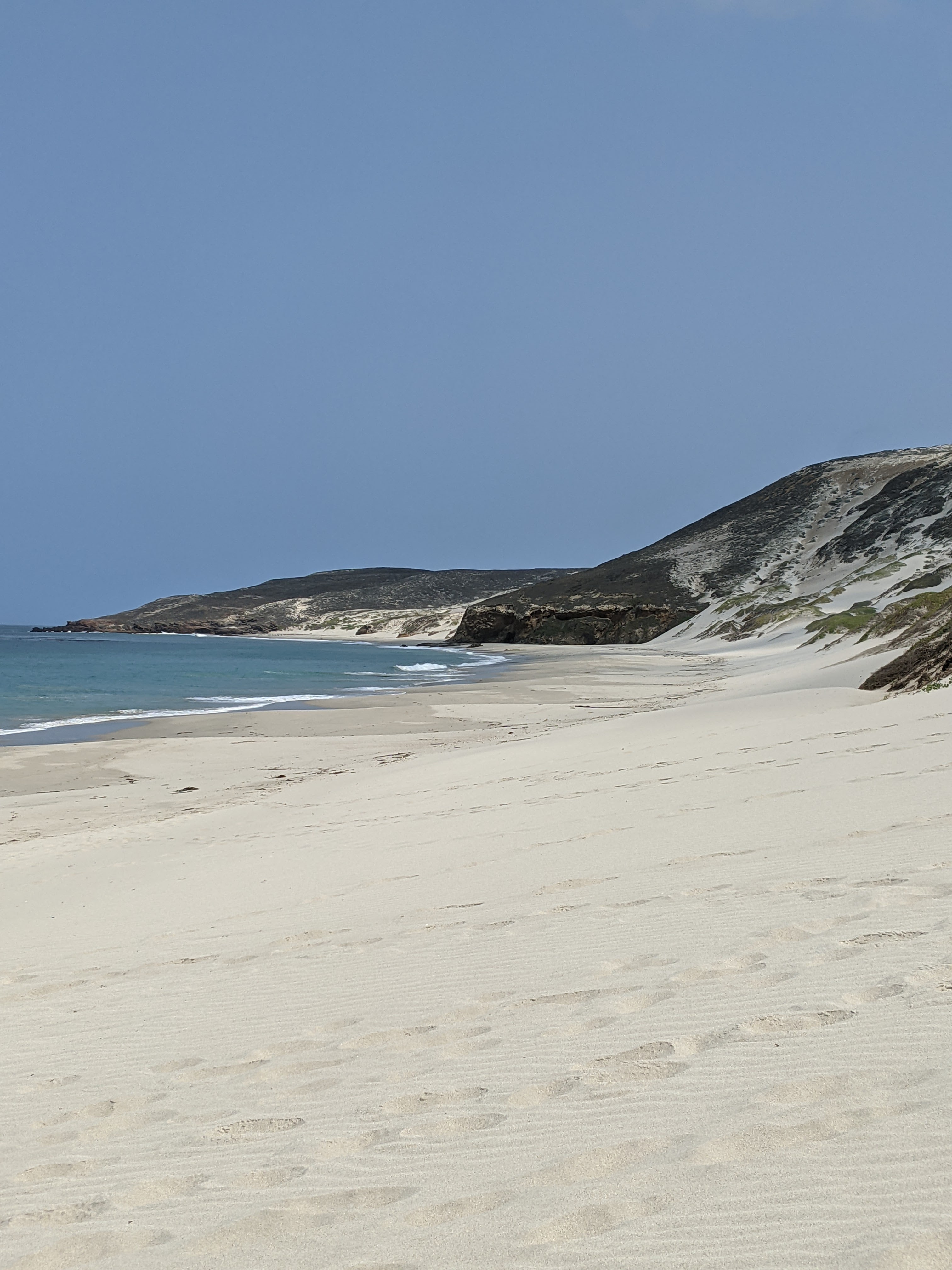
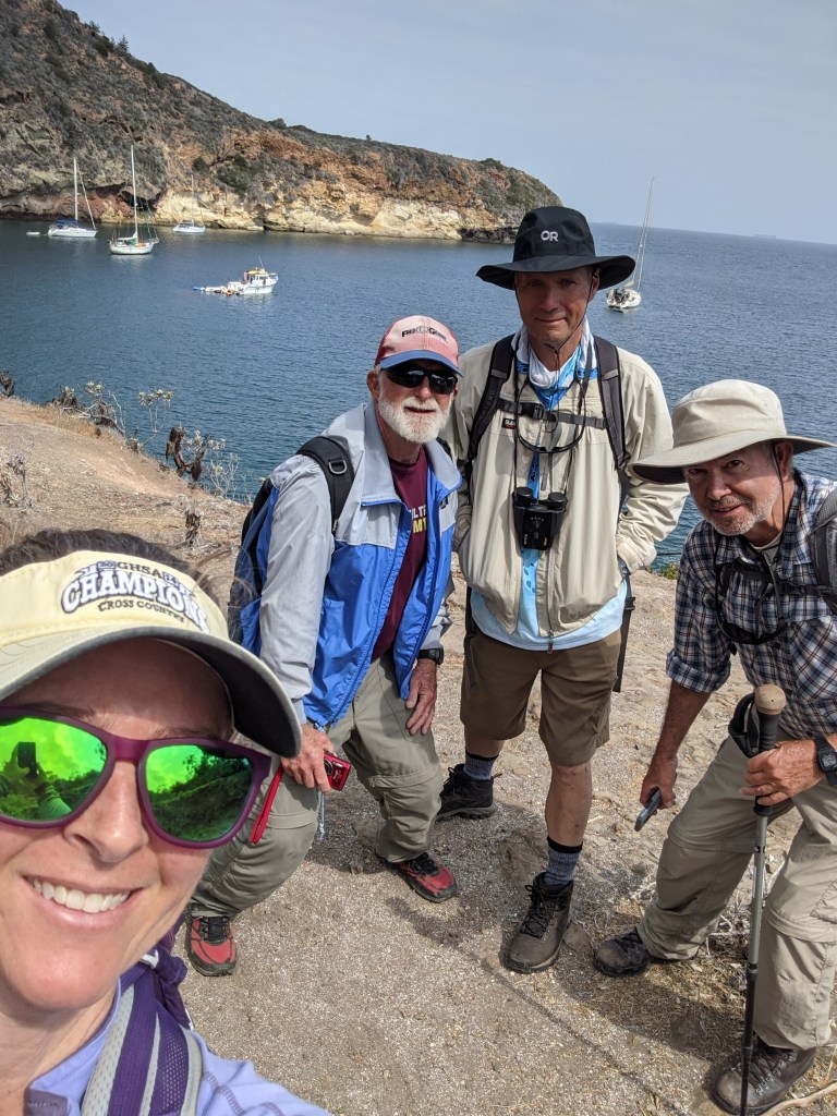
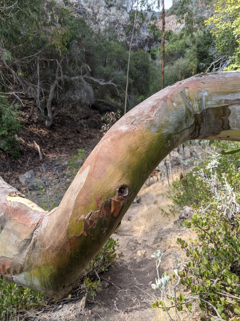
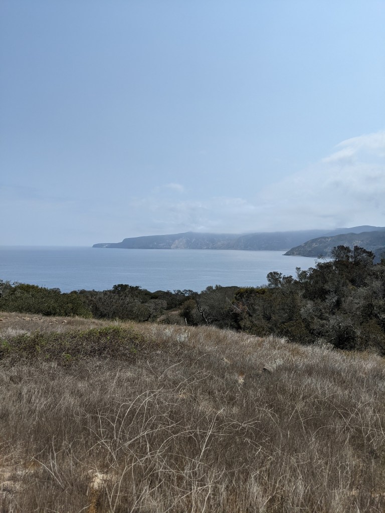
Day eight brought us to land again, this time with a well executed dinghy landing. We were there to do what my mom has dubbed “the hike from hell”. She and my dad have done this hike before in much hotter conditions and with some shoe malfunctions. I can appreciate the moniker now that I’ve done the hike. The trail runs two miles between Pelican Bay and Prisoner’s Harbor down the coast. It follows the canyons, dropping down into cooler shaded gullies and then climbs up to warm and shrubby breathtaking views of the coast. And it does this over and over again, each gully filled with greenery and each climb filled with scrub jays (endemic to the islands) and new views.

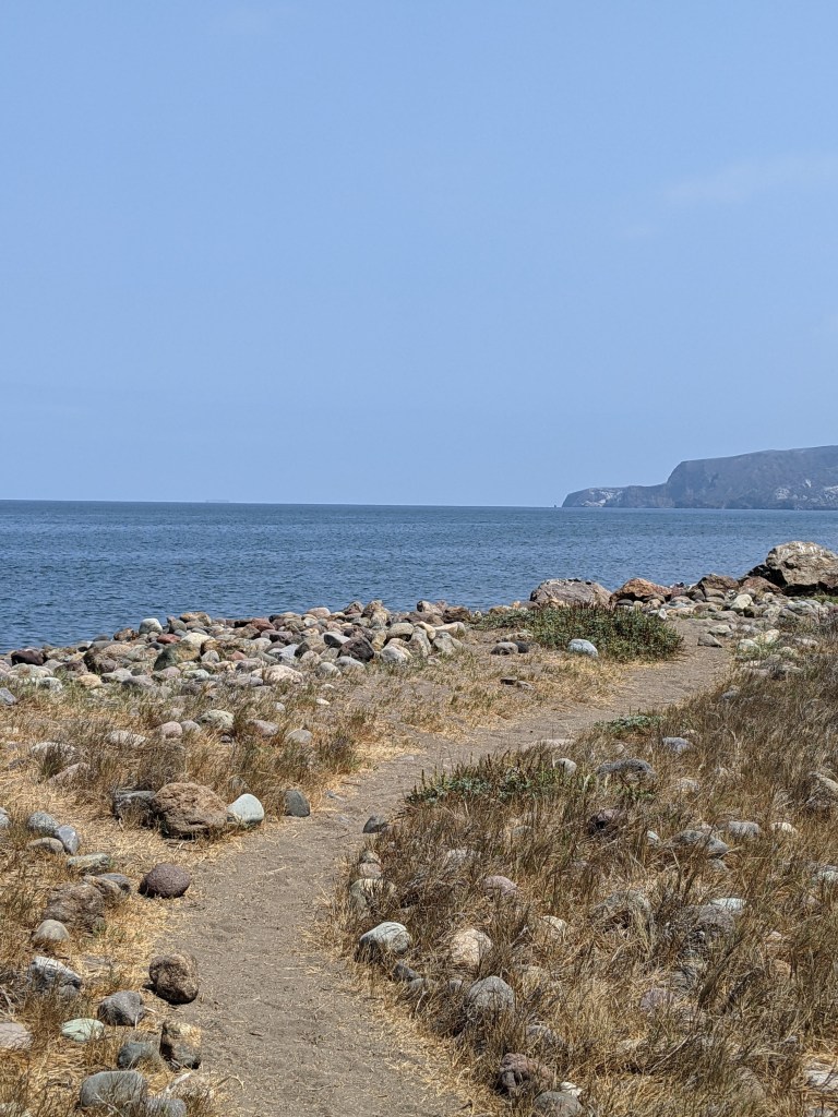
Once again we were greeted by Island Packers, who had arrived at Prisoners Harbor that morning to drop their clientele off at the pier. A fair number chose to hike the trail, meeting us headed in the opposite direction, while others chose to stay in Prisoners and enjoy the rocky beach and picnic tables.

We joined the picnickers when we arrived at Prisoners and were greeted by a too friendly Channel Island fox. It was clearly making a good living off of handouts, although I blessedly didn’t see anyone slip it snacks.

Our arrival back to the boat was shadowed by a single-handed sailor trying to anchor in the harbor, clearly having trouble. I asked dad to go help him because that’s the thing to do out on the water. An hour later, dad had him anchored on the opposite side of the anchorage away from everyone else and had earned a well deserved drink.

Stay tuned for a story of “bugging out” and the end of our adventure.

Advertisement

Sailing Adventures – Part 2

Back to our sailing adventures. We ended last time having gotten to Cuylar Harbor on San Miguel Island.

Day four was our guided hike. The previous evening Dad got the ranger on the radio and we arranged to meet him at the ranger station at 8:30 AM. The ranger station and campground are at the top of a steep canyon and down the beach at the opposite end of Cuylar harbor as the anchorage and safe dinghy landing sites. The ranger recommended giving ourselves an hour to get up to him once we’d made it ashore.

This was our first beach landing with the four of us in the dinghy and it was going smoothly, until it wasn’t. It was a comedy of errors, but we managed not to capsize the dinghy in the surf and there was only minor blood drawn. The beach was inviting, even in the haze of the early morning, and had been claimed by a pack of sea lions and elephant seals. We gave them a wide berth as we walked toward the trailhead, but they were sleepy and barely acknowledged our presence.

The trail to the ranger station was in fact steep, dusty, and up the side of a sheer ravine in some places. I hiked faster than “the boys” and managed to make my way to the top of the ravine silently enough to see two Island foxes cross the path in front of me and then study me from the brush. One was clearly an adult, but the other, while almost the same size, didn’t have the brown coloration of a full-grown fox yet. It was likely a youngling following momma in search of a lizard breakfast. The noise of chatting carrying up the trail scared them off and I was sad to see them go.

During our hike with the ranger (Eric Oberg – who is absolutely wonderful), who turned out to be a ranger at the Channel Islands Visitor Center on the mainland and doing stints on all the islands, we were regaled with the history of the Channel Islands fox. In summary, they were critically endangered (only 15 individuals on San Miguel). A within-island captive breeding program brought the populations up to a stable size (about 400 on San Miguel) on all the islands and they are doing very well. The Nature Conservancy and the National Park Service monitor the populations using radio collars and we happened to run into one of the seasonal workers who monitor the population while we were on our hike. She had her radio antenna out and was hiking around the island trying to get signals from all the foxes. In an effort to monitor their health, she was also setting up to do some trapping to collect samples.

Our hike took us out to a place called Cardwell Point. Along the way Ranger Eric told us with stories about the history of the island (and it’s unexploded ordinances), the flora and fauna living there, the geology of the island, and about the Chumash tribes who colonized and lived on the islands for hundreds of years.

It was a great hike, but after four plus hours of information and talking, the cranky level was ratcheting up, so we headed straight back to the ranger station instead of seeing where the island fox breeding pens were. The rest of the afternoon was spent hiking back to the dinghy and getting back to the boat. Our launch off the beach was much more graceful than our arrival that morning. We rewarded ourselves with some quick sun showers and one of the crew even took a quick dip off the side of the boat. I wrote in my journal: “No one smells too bad, so I’d say we’re totally winning!” It’s funny what’s considered a win when you’re living in close quarters with other people.

The next day (day five) took us from San Miguel to Santa Cruz Island.

Journal excerpt from our sail:  The islands are really different from each other. The northern shore of Santa Cruz Island exhibits cliffs dropping precipitously hundreds of feet into the ocean, filled with caves and nooks that have eroded. They look black with tinges of red oxidized rock and the flatter spots are white with bird crap. We sailed within a quarter mile of the shore and still had 150 feet beneath the keel.

We checked out several anchorage spots on the north side of Santa Cruz Island and finally settled on a little inlet called Fry’s Harbor. There were only two other boats anchored when we arrived and we successfully threw out a stern anchor and a bow anchor, setting both in a smooth J shaped arc of the boat. We celebrated our victory and comfortable anchorage with a boat classic, a strong drink plus cheese and crackers.

Look for Part 3 for our run-in with Island Packers, kayaking, and more hiking!