Sailing Adventures – The Return Trip

After every adventure, whether short or long in time or distance, there’s a coming home. There’s a returning to a place, or a feeling of normalcy or of rest, that gives us a chance to contemplate our adventures and re-calibrate our perspectives of the world.

While I returned to the East Coast for two and a half weeks, my dad toiled in the boatyard. The mast got removed to re-run wiring and get painted, the bottom was sanded and also painted, and a variety of other little projects were also completed. So while I breathed a bit of that coming home feeling on my side of the country, I knew the adventure wasn’t quite over.

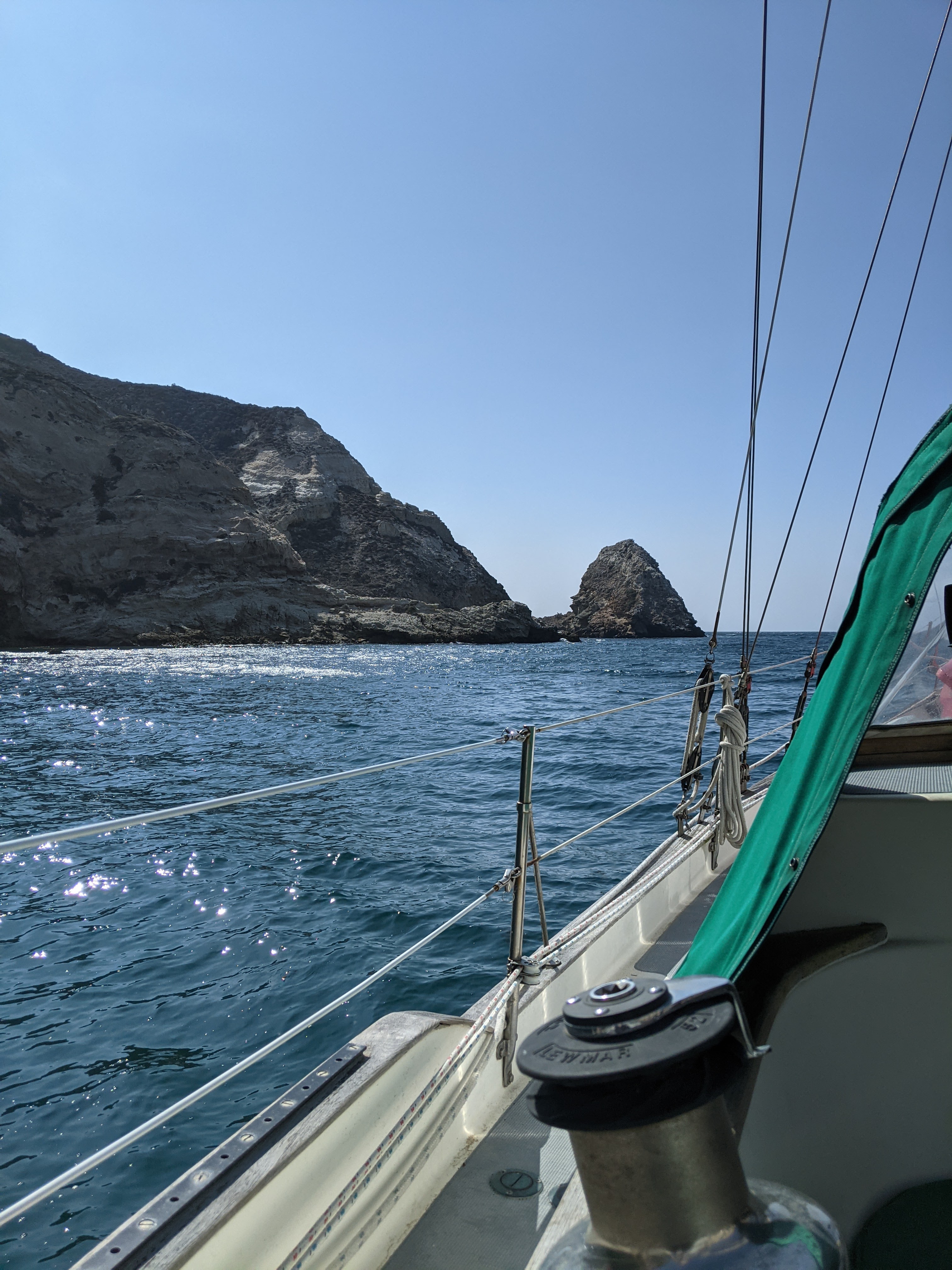
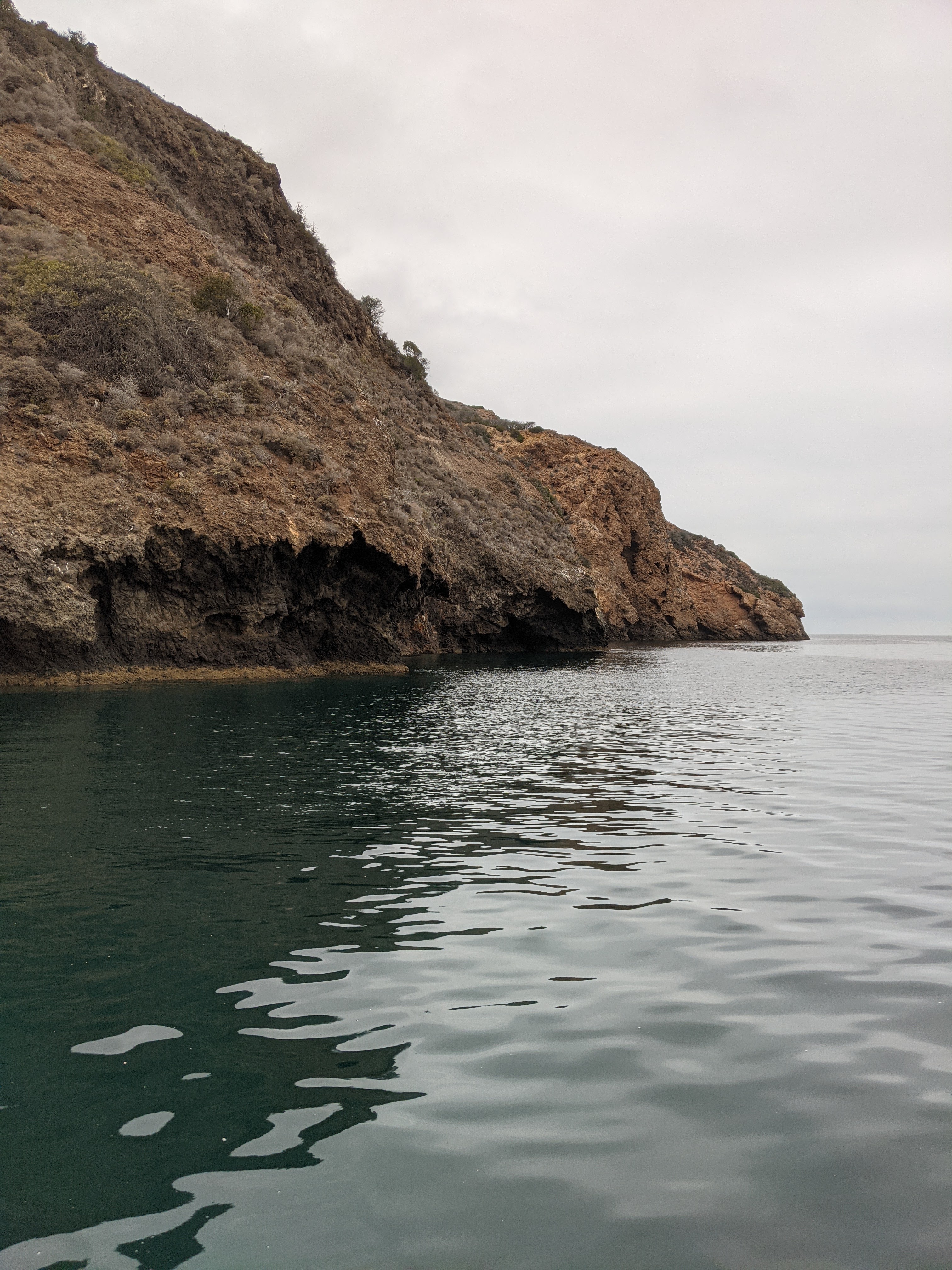
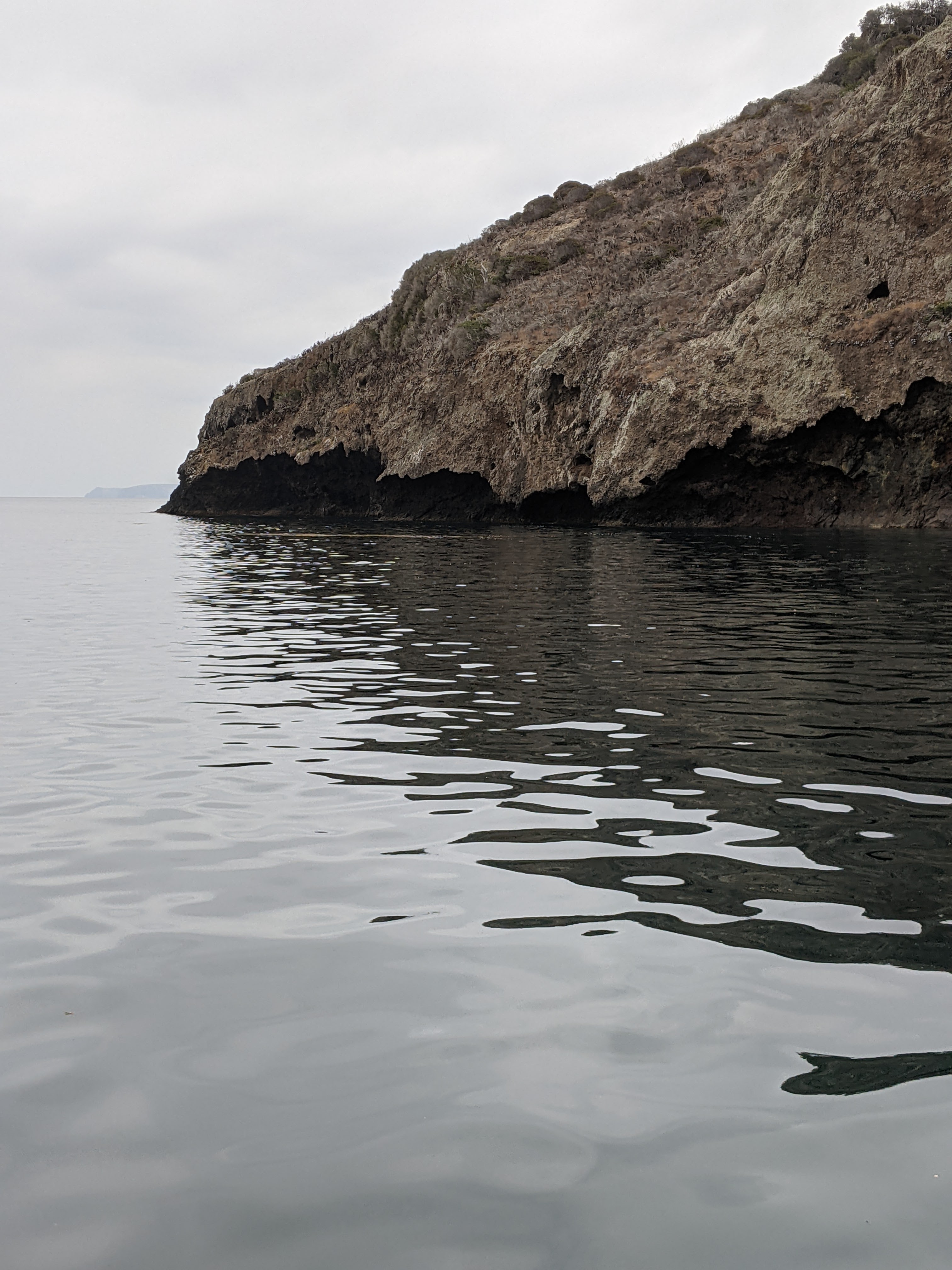
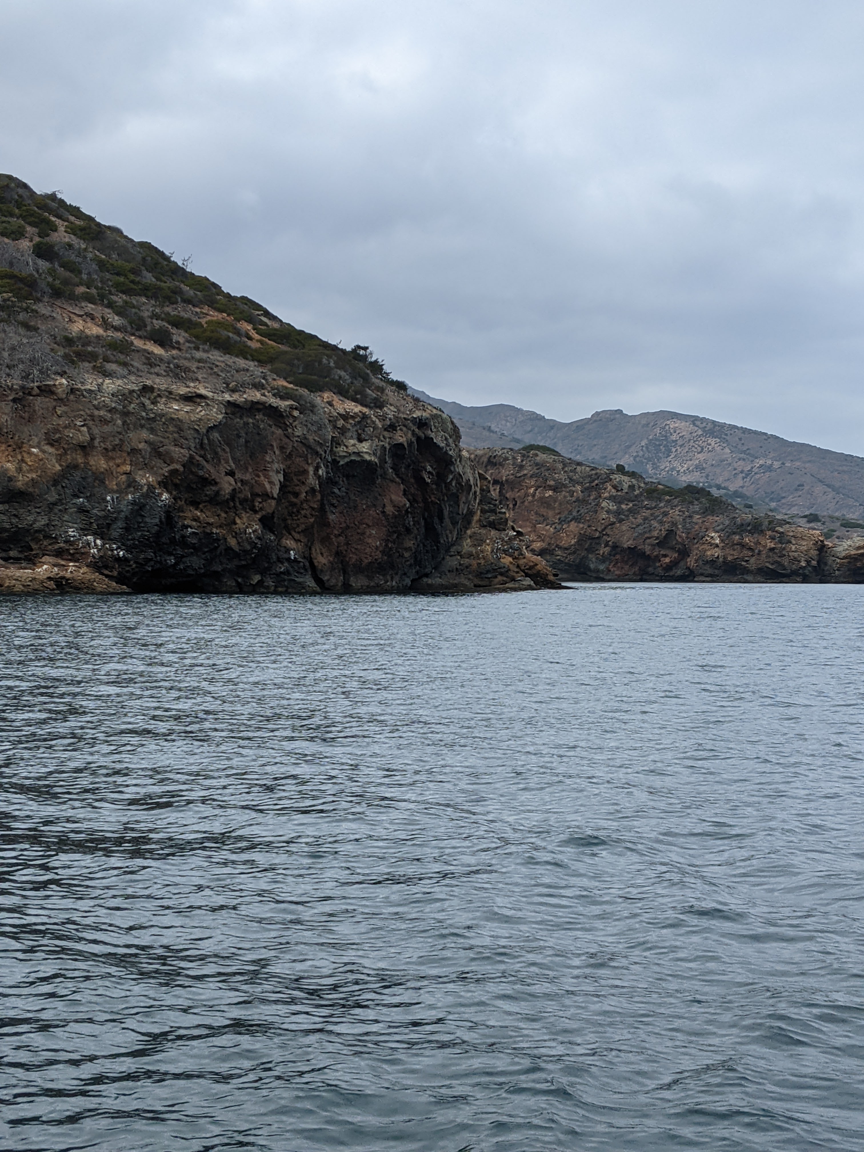
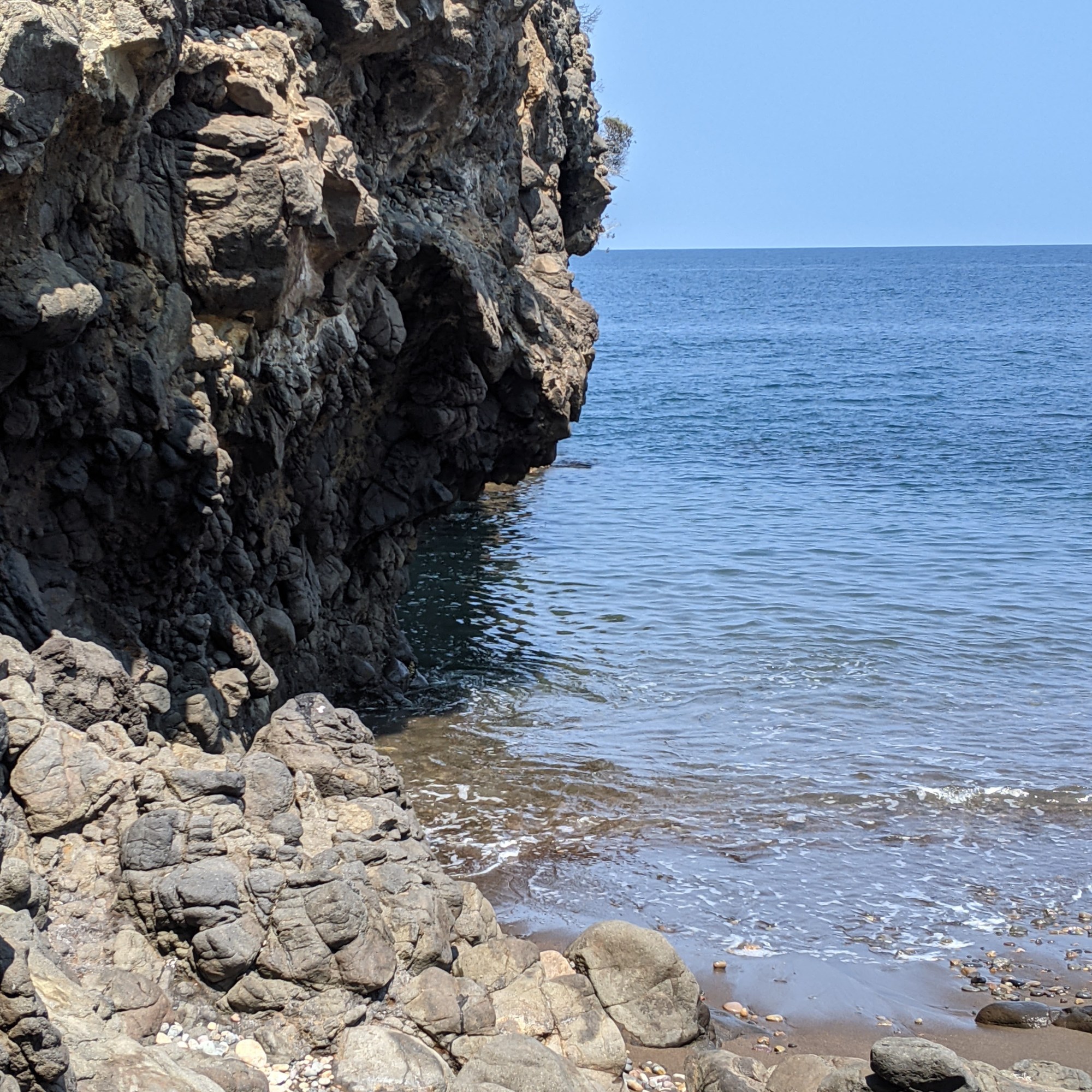
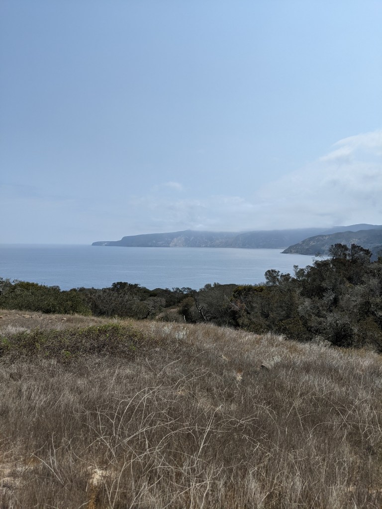
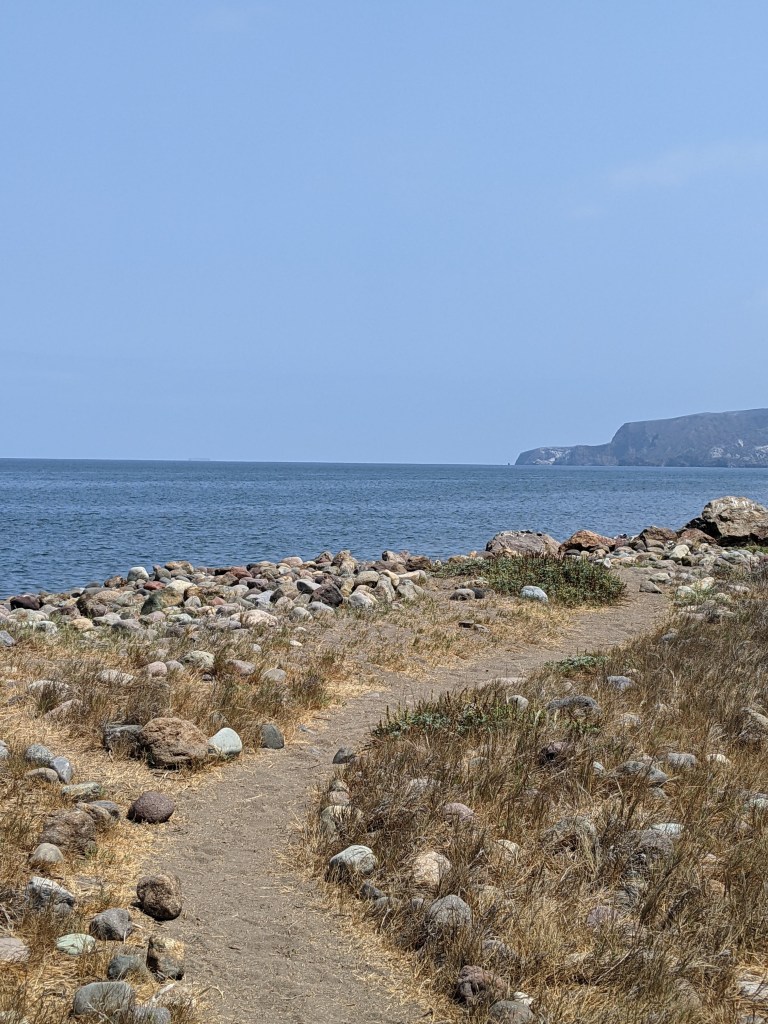
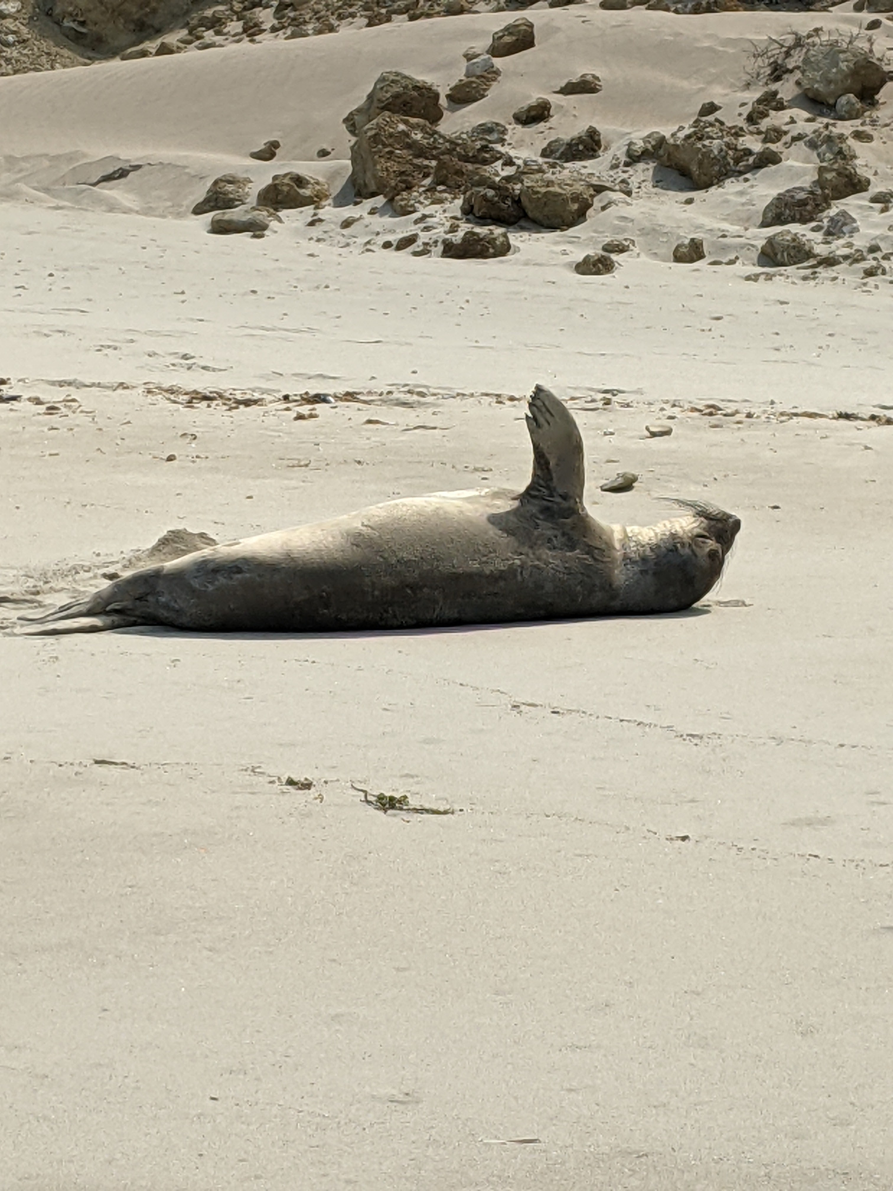
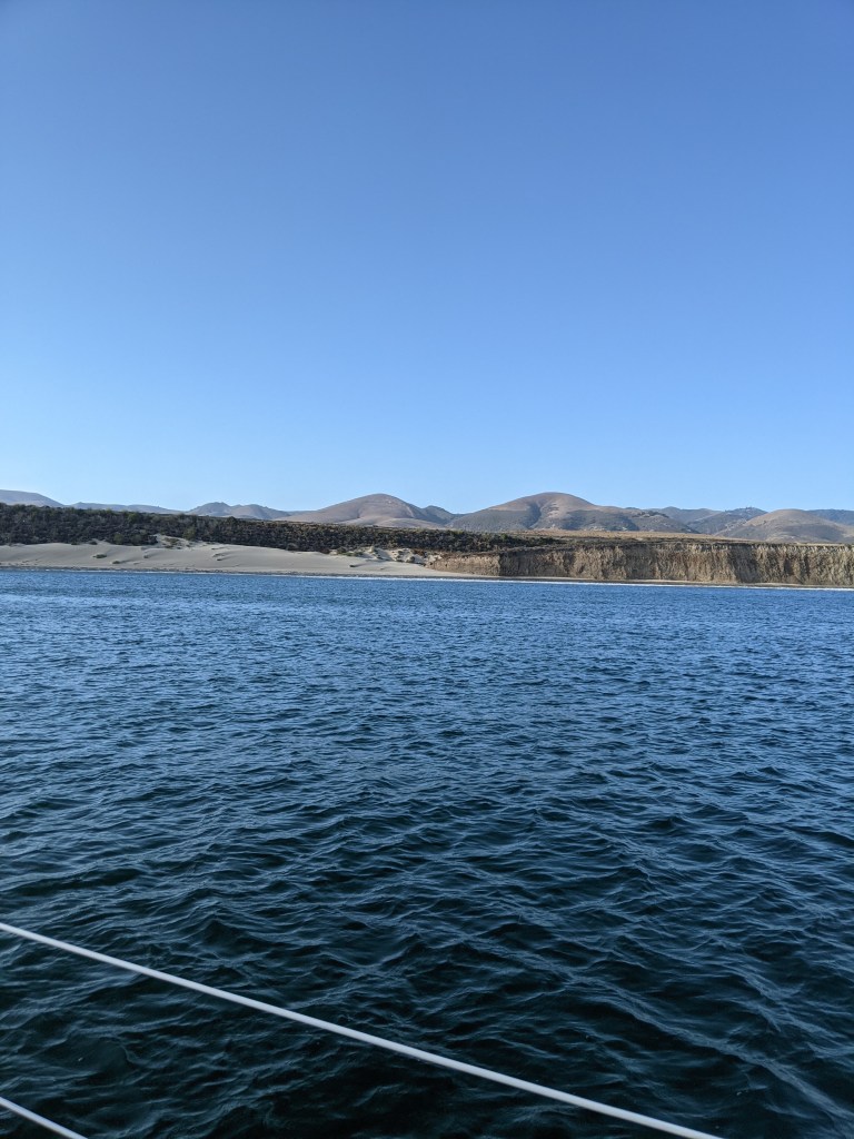
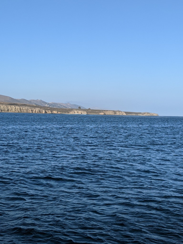
So I flew out once more to the West Coast to help out, but this time for the explicit purpose of bringing the boat back home, to complete the journey. The trip northward along the coast of California is a much different beast than the trip southward. Northward is against the prevailing winds and swells and currents, and includes a rounding of Point Conception where the coastline turns from an east-west direction to a more north-south direction. This is the natural division between southern California and central California, and the winds here can get fearsome as they wrap around the land. Many a sailor have waited out the winds at anchor in Cojo before attempting the trip.

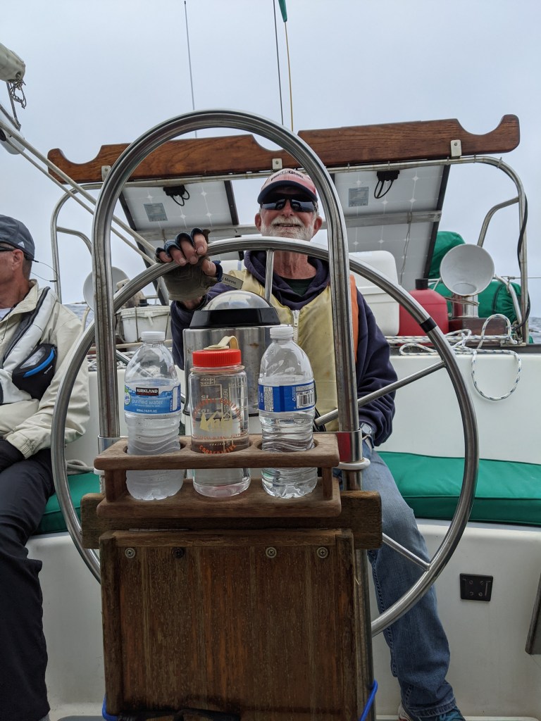
The run can take anywhere between 24 and 36 hours depending on the wind speed and direction. I use the word “run” purposefully because it’s not just a trip. There’s a sense of urgency to it to go quickly before the weather changes or something happens. Luckily we had a good weather window and managed the trip in just over 23 hours. My dad said it’s the easiest trip he’s ever had around Point Conception.

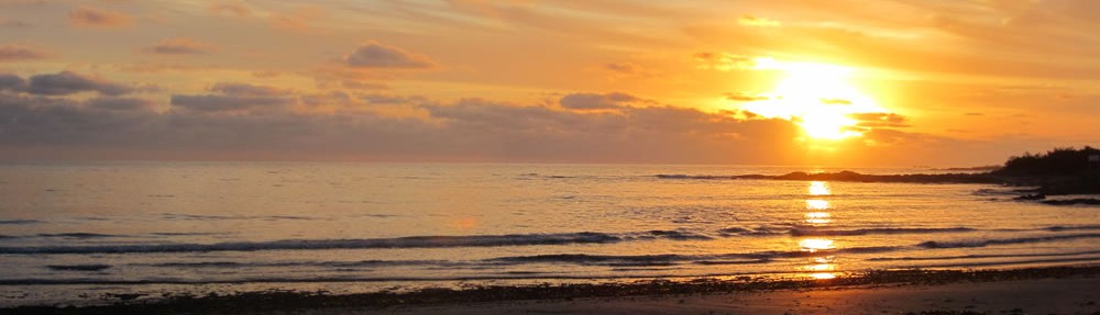
This trip brought me a big new experience that I don’t remember from childhood; sailing at night. Obviously as a child we sailed through the night, but I was never an active participant in the journey. This time I was very much an active participant. Night sailing is something that few people ever do, even regular day sailors. It’s a magical experience, so I thought I’d try to describe it a bit. The following is an entry in my journal written soon after our return.

Night fell as cars disappeared into Gaviota pass on the mainland. Night sailing is a weird mix of constant apprehension, wonder, beauty, and cold. There's always the fear that you'll run into something that didn't show up on the radar, hit a lobster pot buoy that gets caught around the prop, or have to "buckle in" with your harness when the wind picks up suddenly and you have to go forward to drop the main sail... The wonder part of the trip includes watching the lights on land, trying to guess what they belong to, telling time by the changing position of the lights... The rolling of the boat over darkened water is reminiscent of riding a smooth conveyor belt. It's an odd sensation that the water is picking you up, carrying you, and forcing you along, whereas during daylight it very much feels like the boat is charging its way through the water. At night you don't have as much control, you have to trust the ocean to carry you where you want to go... The cold is numbing, wind in your face, eyeballs as wide as possible looking for pitfalls or floating obstacles. The cold seeps in past openings at wrists and necks and waists; up past pant legs and past socks. It's a soul-crushing cold because its the cold of wind and not of temperature. You can't shore up every crack and you can't put your back to it without relinquishing that little bit of control, that chance to see something in the darkness before it becomes a problem.

Once again, I’m deeply grateful to have had the opportunity to spend time with my dad out on the water. I’m also reminded that it’s shared experiences that help build connections between people and I’m thankful to have that as well. For now, I’m headed home to contemplate my adventures and re-calibrate my perspectives of the world!

Advertisement

Sailing Adventures – Part 4

We left off last time with a hike between Pelican Bay and Prisoners Harbor.

Day nine dawned sunny and windless. We took our time with breakfast and then headed out for an 8 mi jaunt down the coast to the western tip of Santa Cruz Island to an anchorage called Little Scorpion. Despite the lack of wind, our stubbornness meant turning off the engine and “sailing” down the coast at 2-3 kts with the sails luffing. By the time we got close to the anchorage the wind had come up a bit.

We took a couple passes through the anchorage, scoping out spots and then tried our stern and bow anchor dance. Unfortunately, the combined result of the wind, a steeply sloping bottom and an error dropping the bow anchor meant that we ended up laying perpendicular to the other boats in the anchorage. It was late afternoon, both anchors seemed dug in pretty well and we were tired, so we gave up and let it be.

Journal entry day ten: By the time we woke up, the anchorage had eight boats in it. One was leaving while at least three others jockeyed for their spot. It was ridiculous and claustrophobic and the wind was still blowing. The weather report said there was a small craft advisory for the western part of Santa Cruz Island and Anacapa Island. So we pulled up the anchors and went to find a better spot.

Unfortunately we got waved off at Scoprion Anchorage by a boat that had situated themselves in the very middle of the anchorage. So we continued down the coast to a little cove called Potato. It is completely surrounded by cliffs, with a small opening to get into the bay. A happily barking sea lion colony welcomed us. The winds and swell were from the northwest and straight through the small opening and into the bay.

We kept an eye on the wind and the swells, which kept building throughout the afternoon. Usually the wind and any wind-driven swells die down toward the end of the afternoon, but they didn’t this time.

Towards evening, with the swells still increasing and the wind still strong, Dad and I decided it would be safer and more comfortable to “bug out” and head back to Little Scorpion for the night. Unfortunately that decision wasn’t made until 8:30 pm.

Journal entry evening day ten: Dad pulled the anchor quickly and I fought the swells out of the cove at the helm. I got to the mouth of the cove by the time Dad got back into the cockpit and we literally weren't going anywhere. Momentary panic with the 6-8 ft swells, 15 kts of wind, and cliffs on both sides closing in. Dad reached over and gave her a little more gas, and then freedom. What followed was battling a broadside swell down the coast for about thirty minutes as darkness closed in... Coming into Little Scorpion in the dark wasn't much fun either, but I drove through the anchorage, Dad dropped the anchor and we called it good.

After getting settled back at Little Scorpion we let the adrenaline subside a bit while watching the star-filled sky. The Milky Way swept across the blackness and a few satellites raced from horizon to horizon.

Day eleven dawned bright and breezy and we were off early to get to Ventura by noon.

Journal entry day eleven: I found myself at the helm of Savant once again. All of the sails were up in 12 kts of wind and we were speeding over the water at 7 kts. We finally had enough wind for a decent sail and there was nothing that was going to get me to relinquish that helm. It was beautiful and magical and felt like flying. I could hear the propellor spinning freely, the pitch changing slightly as we got pushed over the crest of a swell or loitered a bit in a trough. We saw schools of dolphins and avoided oil platform "Gail".

We made it to the Derecktor boatyard in Ventura Harbor early and was greeted on the dock by Leonora who is organizer-extraordinaire for the operation. I wasn’t able to stay in town for the boatyard activities, but my dad was happy with the services that were offered, the environmental considerations, and their ability to come up with solutions when problems arose.

Our adventure was over and I was headed home. It’s a trip that I feel lucky to have been a part of, not just for the sailing itself, but being able to share it with my dad was a gift.

Sailing Adventures – Part 3

We left off last time having anchored in Fry’s Harbor on Santa Cruz Island.

Journal Entry Day six: I'm sitting here listening to the lap of waves against the rocks, watching the water slowly rise and fall against the cliffs. It's like the ocean is breathing slowly as each swell comes through. The water is relatively calm and glassy this morning in the gray light, and there's hardly a breeze. I can smell bacon cooking downstairs in preparation for breakfast burritos. I've already had my cup of hot vanilla chai tea and the sleepy fog of my mind has mostly lifted. Behind the bacon smell is the rich smell of kelp and algae and salt permeating through the air. It's a balm that's so familiar I can almost reach out and grab it, put it somewhere close to my soul so that when I'm thousands of miles from this place I can still come back to this calm, this home.

That lovely calm was interrupted by Island Packers anchoring in deep water and ferrying about 80 people onto shore in their zodiacs. Island Packers is a great way to experience some part of the islands if you don’t have access to your own vessel. They have day trips and will drop campers off at the island campgrounds. So, we watched as people picnicked on the rocky shore, played in the cold water, and snorkeled around. Three hours later it was the process in reverse and Island Packers left us to our little notch in the coast. In between, we took turns taking the kayaks out to explore the cliffs up and down the coast a bit. It was lovely being on the water, looking at all the patterns in the rock, and gasping at little blowholes as an errant swell smacked the rocks.

The next day (day seven), we sauntered down the coast a couple of miles to a place called Pelican Bay. We again successfully set a stern and bow anchor in the harbor and then kayaked, drank, and ate to our success. Pelicans is very cool because it feels like a bowl. It’s surrounded by cliffs in an almost perfect half circle. There are bright yellowish patterns in the sandstone cliffs on the eastern side of the bay, an identifying landmark for boaters.

There used to be a hotel on the western edge of the bay on the cliffs in the early 1900’s and the foundations and century plants from the gardens are the only evidence they ever existed. Well, that and the boat landing that no one in their right mind would ever use (at least after a first try). It’s a low flat rock covered with barnacles and all kinds of sharp marine life available for landing dinghies, followed by a small set of stairs crumbling up the cliffs to the hotel foundations. A much more reasonable landing spot is around the western end of the bay in a small sandy/rocky cove directly behind the long gone hotel.

Day eight brought us to land again, this time with a well executed dinghy landing. We were there to do what my mom has dubbed “the hike from hell”. She and my dad have done this hike before in much hotter conditions and with some shoe malfunctions. I can appreciate the moniker now that I’ve done the hike. The trail runs two miles between Pelican Bay and Prisoner’s Harbor down the coast. It follows the canyons, dropping down into cooler shaded gullies and then climbs up to warm and shrubby breathtaking views of the coast. And it does this over and over again, each gully filled with greenery and each climb filled with scrub jays (endemic to the islands) and new views.

Once again we were greeted by Island Packers, who had arrived at Prisoners Harbor that morning to drop their clientele off at the pier. A fair number chose to hike the trail, meeting us headed in the opposite direction, while others chose to stay in Prisoners and enjoy the rocky beach and picnic tables.

We joined the picnickers when we arrived at Prisoners and were greeted by a too friendly Channel Island fox. It was clearly making a good living off of handouts, although I blessedly didn’t see anyone slip it snacks.

Our arrival back to the boat was shadowed by a single-handed sailor trying to anchor in the harbor, clearly having trouble. I asked dad to go help him because that’s the thing to do out on the water. An hour later, dad had him anchored on the opposite side of the anchorage away from everyone else and had earned a well deserved drink.

Stay tuned for a story of “bugging out” and the end of our adventure.

Sailing Adventures – Part 2

Back to our sailing adventures. We ended last time having gotten to Cuylar Harbor on San Miguel Island.

Day four was our guided hike. The previous evening Dad got the ranger on the radio and we arranged to meet him at the ranger station at 8:30 AM. The ranger station and campground are at the top of a steep canyon and down the beach at the opposite end of Cuylar harbor as the anchorage and safe dinghy landing sites. The ranger recommended giving ourselves an hour to get up to him once we’d made it ashore.

This was our first beach landing with the four of us in the dinghy and it was going smoothly, until it wasn’t. It was a comedy of errors, but we managed not to capsize the dinghy in the surf and there was only minor blood drawn. The beach was inviting, even in the haze of the early morning, and had been claimed by a pack of sea lions and elephant seals. We gave them a wide berth as we walked toward the trailhead, but they were sleepy and barely acknowledged our presence.

The trail to the ranger station was in fact steep, dusty, and up the side of a sheer ravine in some places. I hiked faster than “the boys” and managed to make my way to the top of the ravine silently enough to see two Island foxes cross the path in front of me and then study me from the brush. One was clearly an adult, but the other, while almost the same size, didn’t have the brown coloration of a full-grown fox yet. It was likely a youngling following momma in search of a lizard breakfast. The noise of chatting carrying up the trail scared them off and I was sad to see them go.

During our hike with the ranger (Eric Oberg – who is absolutely wonderful), who turned out to be a ranger at the Channel Islands Visitor Center on the mainland and doing stints on all the islands, we were regaled with the history of the Channel Islands fox. In summary, they were critically endangered (only 15 individuals on San Miguel). A within-island captive breeding program brought the populations up to a stable size (about 400 on San Miguel) on all the islands and they are doing very well. The Nature Conservancy and the National Park Service monitor the populations using radio collars and we happened to run into one of the seasonal workers who monitor the population while we were on our hike. She had her radio antenna out and was hiking around the island trying to get signals from all the foxes. In an effort to monitor their health, she was also setting up to do some trapping to collect samples.

Our hike took us out to a place called Cardwell Point. Along the way Ranger Eric told us with stories about the history of the island (and it’s unexploded ordinances), the flora and fauna living there, the geology of the island, and about the Chumash tribes who colonized and lived on the islands for hundreds of years.

It was a great hike, but after four plus hours of information and talking, the cranky level was ratcheting up, so we headed straight back to the ranger station instead of seeing where the island fox breeding pens were. The rest of the afternoon was spent hiking back to the dinghy and getting back to the boat. Our launch off the beach was much more graceful than our arrival that morning. We rewarded ourselves with some quick sun showers and one of the crew even took a quick dip off the side of the boat. I wrote in my journal: “No one smells too bad, so I’d say we’re totally winning!” It’s funny what’s considered a win when you’re living in close quarters with other people.

The next day (day five) took us from San Miguel to Santa Cruz Island.

Journal excerpt from our sail:  The islands are really different from each other. The northern shore of Santa Cruz Island exhibits cliffs dropping precipitously hundreds of feet into the ocean, filled with caves and nooks that have eroded. They look black with tinges of red oxidized rock and the flatter spots are white with bird crap. We sailed within a quarter mile of the shore and still had 150 feet beneath the keel.

We checked out several anchorage spots on the north side of Santa Cruz Island and finally settled on a little inlet called Fry’s Harbor. There were only two other boats anchored when we arrived and we successfully threw out a stern anchor and a bow anchor, setting both in a smooth J shaped arc of the boat. We celebrated our victory and comfortable anchorage with a boat classic, a strong drink plus cheese and crackers.

Look for Part 3 for our run-in with Island Packers, kayaking, and more hiking!

Sailing Adventures – Part 1

For those who don’t know, I’ve retired at the young age of 37. Just kidding! I quit my teaching job of 8 years to explore other creative pursuits and to figure out what I would like to do next. In the meantime, it’s freed up my schedule immensely and given me the opportunity to do things that I wouldn’t have had the chance to. The first of these big things is: Sailing.

A quick history in 2 sentences: I grew up on a sailboat that my parents built. Yeah, we actually lived and sailed on it when I was a youngling.

So, when my dad asked if I wanted to come sailing with him and a couple of friends on the way to get the boat hauled, I said yes. My dad planned an awesome 11 day trip to the Channel Islands on our way to the boatyard in Ventura. I thought I’d share some of our adventures, thoughts from my journal, and some photos.

The adventure started with this view of Savant in foggy Morro Bay harbor. By noon we were on our way, my dad handing over the wheel to me so that I could do my best slogging through a broadside swell as we came out of the harbor. Oh the rolling! What a way to start out, especially with two newbies on board, but they did great!

Our first stop was a sunny Port San Luis. This was my first experience at the wheel while anchoring. Luckily there was only one other boat in the anchorage. Turns our that “grown up me” got a lot more responsibilities than “little kid me”, and it was pretty awesome!

The second day was the longest sailing day, about 60 miles from Port San Luis, around Point Conception, to an anchorage at Cojo. It was another light wind and broadside swell day until we got closer to Point Conception and the wind picked up (not surprisingly!). Even during a less than ideal sailing day, there are benefits of being out on the water. And those benefits came in the form of sunfish floating at the surface, 13 whales spotted, a pod of dolphins checking us out, and a couple pods of feeding sea lions followed religiously by flocks of birds.

Day three journal entry: Not even 8 AM and the surfers have arrived here in the middle of nowhere to surf the morning waves. It's cloudy with small patches of blue, multiple layers of clouds and fog. Some are puffy over the water and the fog looks like its rising from the hillsides, almost like smoke. The breeze is from the west, toppling over the cliffs and into us. The wind smells fresh and salty, blowing from the ocean over the headlands here at Cojo and into my face, maybe 5-10 kts. The surfers are likely sheltered right at the base of the cliffs, but they're probably still cold.  I can hear the waves breaking along a small beach at the base of sandstone cliffs. The striations in the layers are a clear sweep from upper left to bottom right. There's a little bench up where the cliffs end in a sandy dune, and there might even be a path there. Who knows where it leads or if this little beach is the end of the line. There's no habitation, no roads around here except the Point Conception lighthouse and a bunch of ranches in the hills too small to see, yet I'm watching four surfers enjoy a Wednesday morning in this deserted and pristine place. Two old bikes are toppled over in the sand at the base of the cliffs, likely from the two early birds. The other two came in on a red dinghy that they anchored right outside the breakers. They came from down the coast. How far did they travel to get here? Who are they? Why go to such lengths to find the perfect wave? That's easy... The perfect wave makes you feel invincible, like you're part of this wide world that's so amazing. What better place to find that perfection than on a deserted beach where you don't have to share the waves?

On day three we sailed (well, motor-sailed) across the Santa Barbara Channel to San Miguel Island and Cuylar Harbor. It’s part of the Channel Islands National Park. The Island is owned by the Navy, but is managed by the Nature Conservancy and the National Park Service. Special permits are needed to get onto the island and there’s one campground and a ranger station. Of course, my dad made sure we had all our permits and even arranged for the ranger to give us a guided hike (because people aren’t allowed past the campground without a ranger, even with a permit).

Stay tuned for Part 2 for details about our hike and our first stop on Santa Cruz Island.