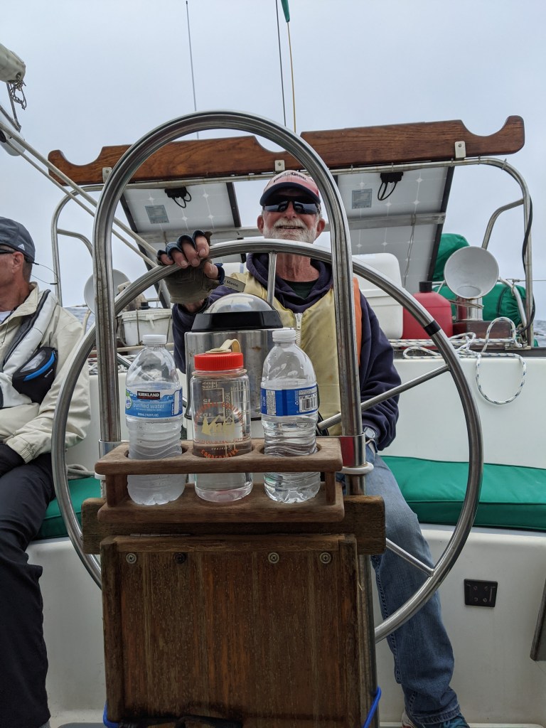
Back to our sailing adventures. We ended last time having gotten to Cuylar Harbor on San Miguel Island.
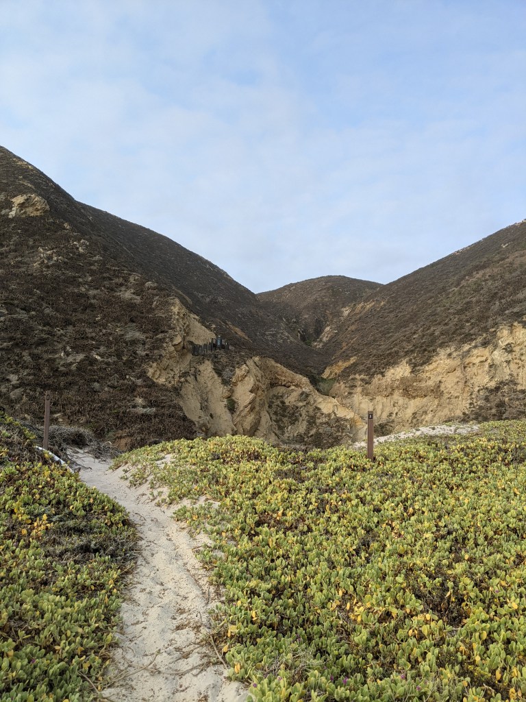
Day four was our guided hike. The previous evening Dad got the ranger on the radio and we arranged to meet him at the ranger station at 8:30 AM. The ranger station and campground are at the top of a steep canyon and down the beach at the opposite end of Cuylar harbor as the anchorage and safe dinghy landing sites. The ranger recommended giving ourselves an hour to get up to him once we’d made it ashore.

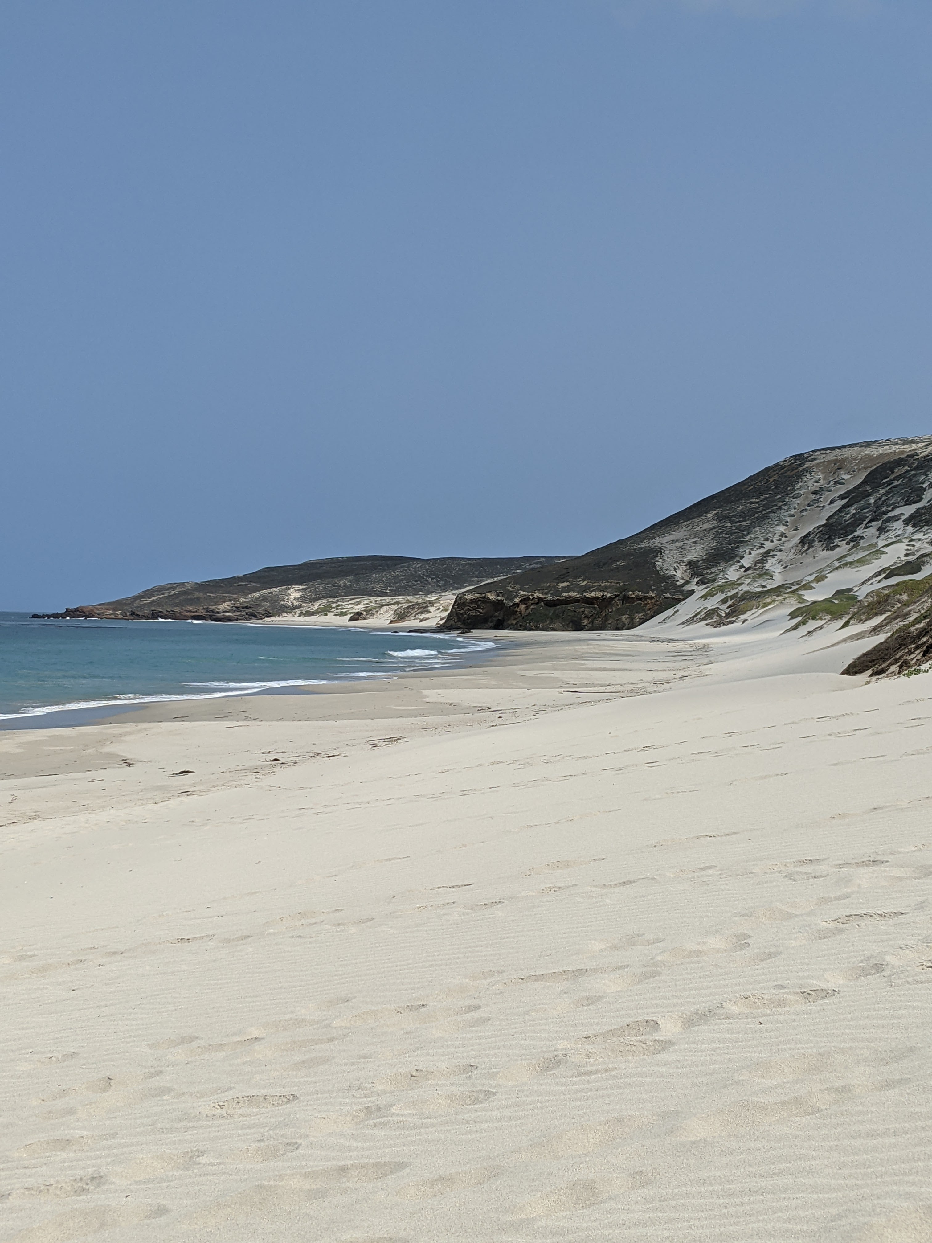
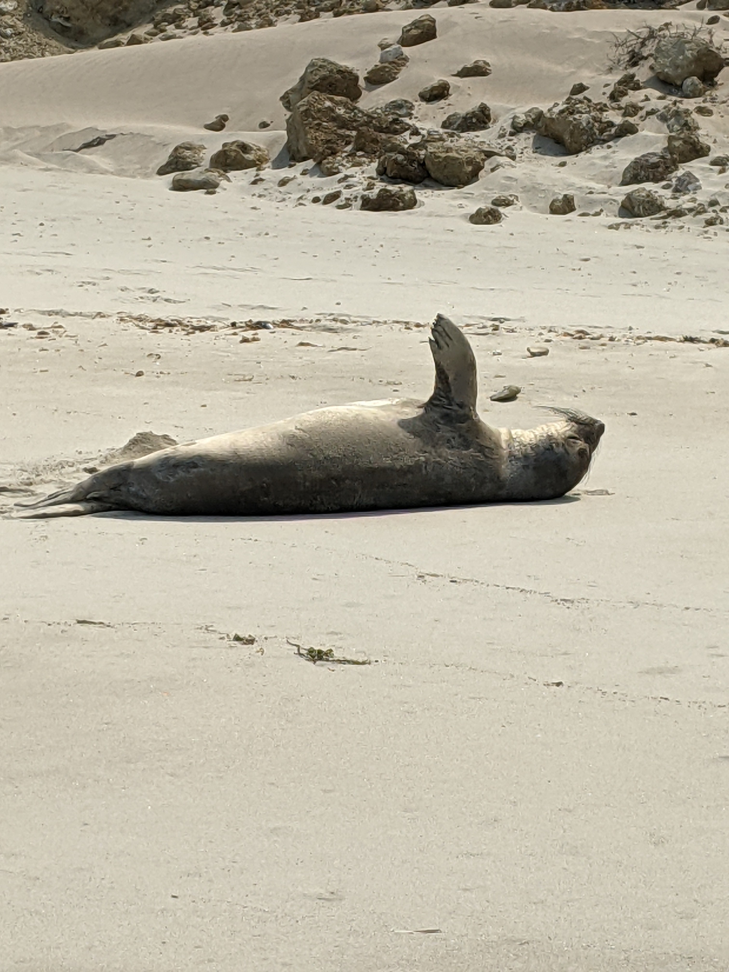
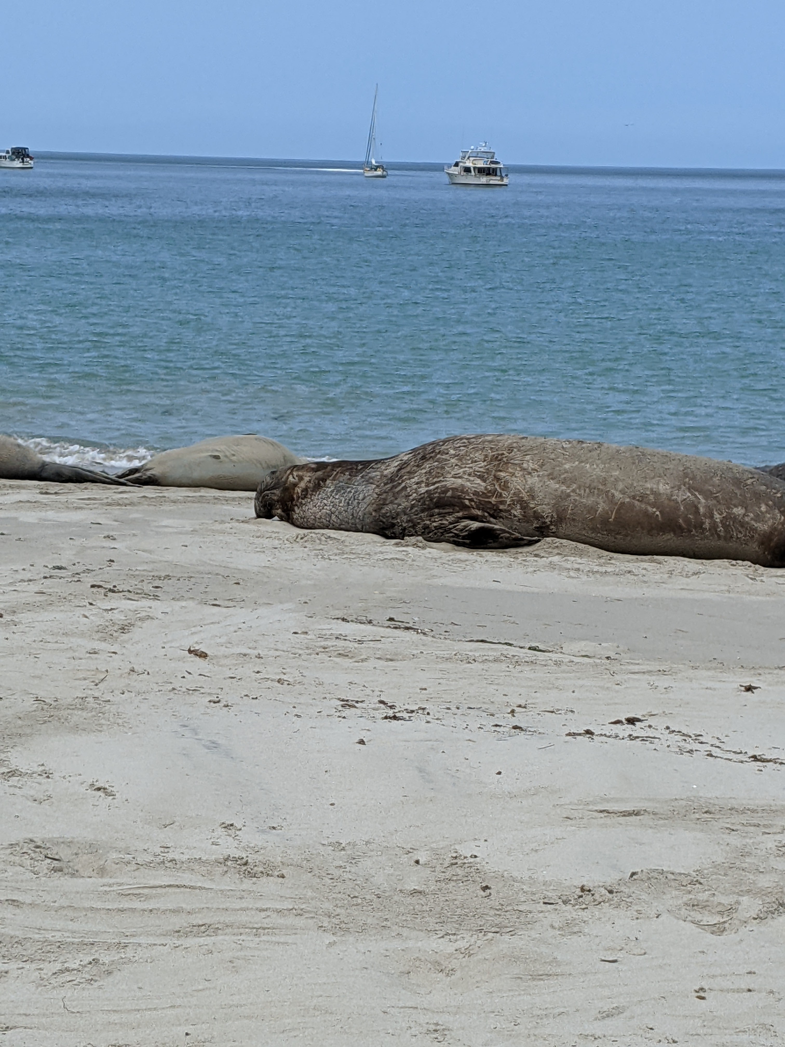
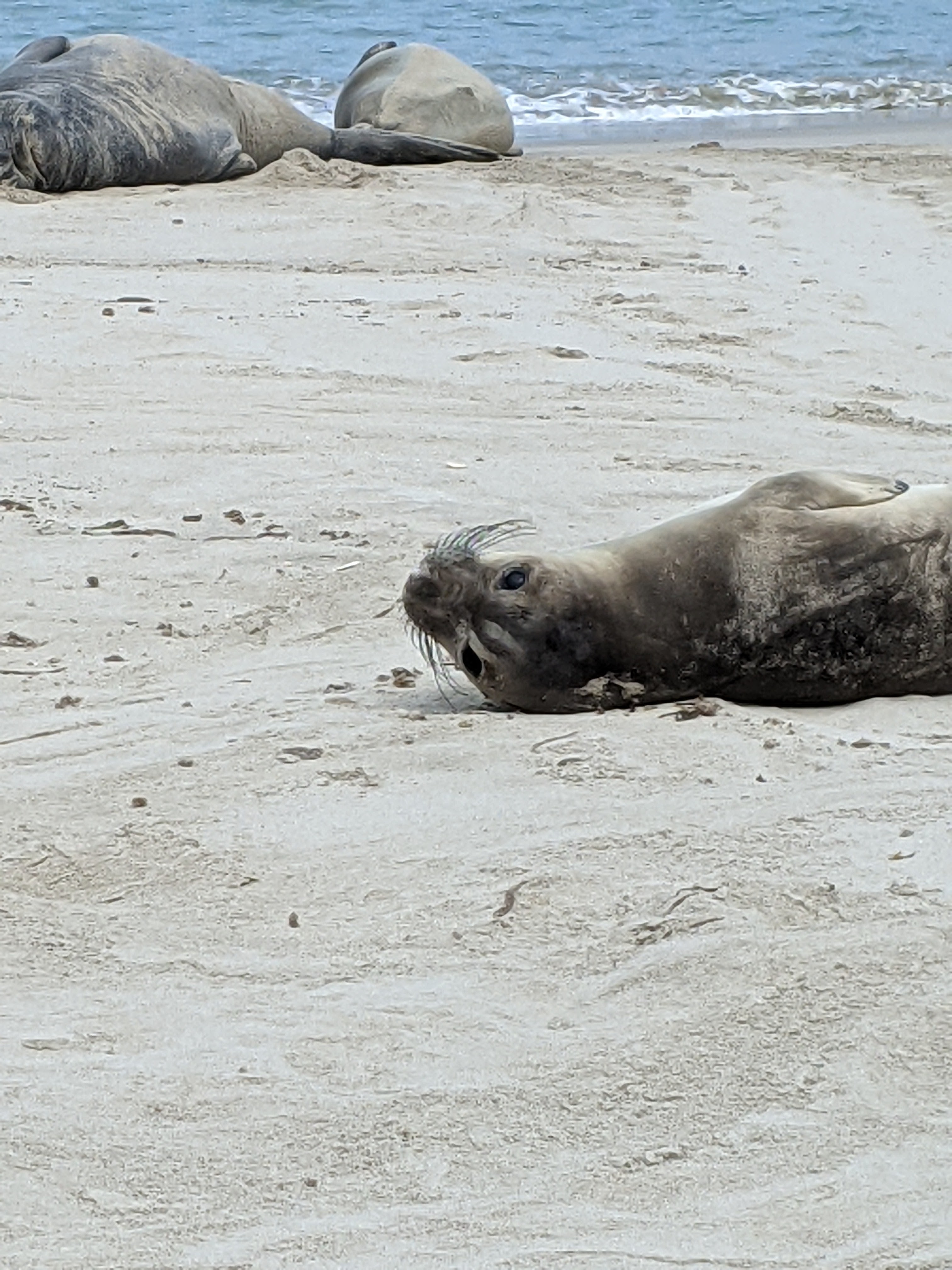
This was our first beach landing with the four of us in the dinghy and it was going smoothly, until it wasn’t. It was a comedy of errors, but we managed not to capsize the dinghy in the surf and there was only minor blood drawn. The beach was inviting, even in the haze of the early morning, and had been claimed by a pack of sea lions and elephant seals. We gave them a wide berth as we walked toward the trailhead, but they were sleepy and barely acknowledged our presence.
The trail to the ranger station was in fact steep, dusty, and up the side of a sheer ravine in some places. I hiked faster than “the boys” and managed to make my way to the top of the ravine silently enough to see two Island foxes cross the path in front of me and then study me from the brush. One was clearly an adult, but the other, while almost the same size, didn’t have the brown coloration of a full-grown fox yet. It was likely a youngling following momma in search of a lizard breakfast. The noise of chatting carrying up the trail scared them off and I was sad to see them go.
During our hike with the ranger (Eric Oberg – who is absolutely wonderful), who turned out to be a ranger at the Channel Islands Visitor Center on the mainland and doing stints on all the islands, we were regaled with the history of the Channel Islands fox. In summary, they were critically endangered (only 15 individuals on San Miguel). A within-island captive breeding program brought the populations up to a stable size (about 400 on San Miguel) on all the islands and they are doing very well. The Nature Conservancy and the National Park Service monitor the populations using radio collars and we happened to run into one of the seasonal workers who monitor the population while we were on our hike. She had her radio antenna out and was hiking around the island trying to get signals from all the foxes. In an effort to monitor their health, she was also setting up to do some trapping to collect samples.

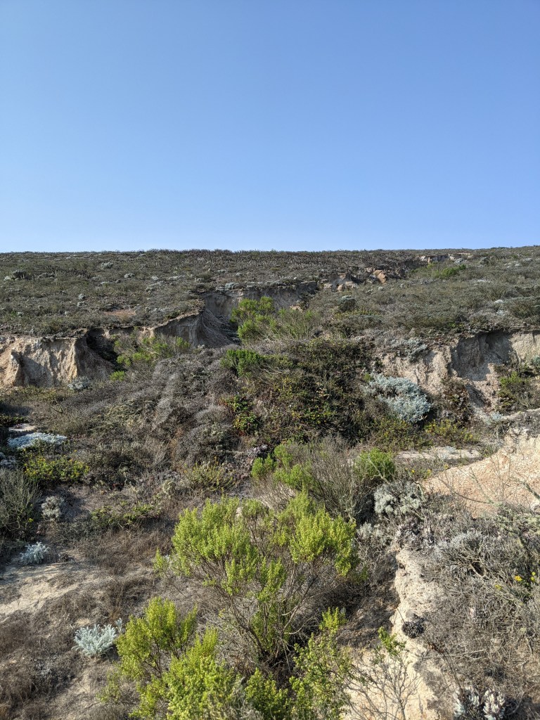


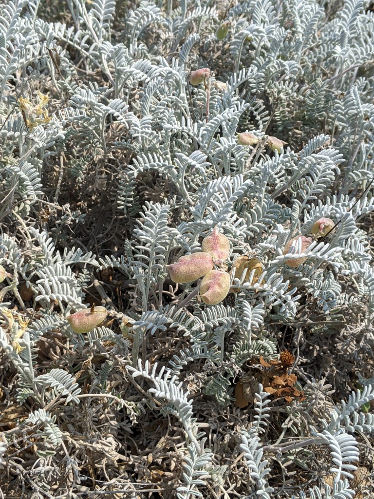


Our hike took us out to a place called Cardwell Point. Along the way Ranger Eric told us with stories about the history of the island (and it’s unexploded ordinances), the flora and fauna living there, the geology of the island, and about the Chumash tribes who colonized and lived on the islands for hundreds of years.
It was a great hike, but after four plus hours of information and talking, the cranky level was ratcheting up, so we headed straight back to the ranger station instead of seeing where the island fox breeding pens were. The rest of the afternoon was spent hiking back to the dinghy and getting back to the boat. Our launch off the beach was much more graceful than our arrival that morning. We rewarded ourselves with some quick sun showers and one of the crew even took a quick dip off the side of the boat. I wrote in my journal: “No one smells too bad, so I’d say we’re totally winning!” It’s funny what’s considered a win when you’re living in close quarters with other people.


The next day (day five) took us from San Miguel to Santa Cruz Island.
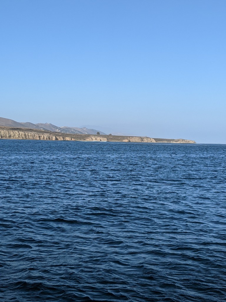
Journal excerpt from our sail: The islands are really different from each other. The northern shore of Santa Cruz Island exhibits cliffs dropping precipitously hundreds of feet into the ocean, filled with caves and nooks that have eroded. They look black with tinges of red oxidized rock and the flatter spots are white with bird crap. We sailed within a quarter mile of the shore and still had 150 feet beneath the keel.
We checked out several anchorage spots on the north side of Santa Cruz Island and finally settled on a little inlet called Fry’s Harbor. There were only two other boats anchored when we arrived and we successfully threw out a stern anchor and a bow anchor, setting both in a smooth J shaped arc of the boat. We celebrated our victory and comfortable anchorage with a boat classic, a strong drink plus cheese and crackers.
Look for Part 3 for our run-in with Island Packers, kayaking, and more hiking!